 |
Piddlehinton |
|
|
|
Piddlehinton |
|
|
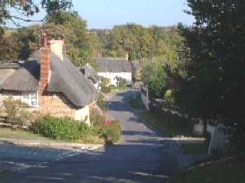
Piddlehinton also known in the past as Puddlehinton, is a parish and compact village on the River Trent or Piddle 5½ miles north east of Dorchester. The parish of Piddletrenthide lies to the north and Puddletown [previously called Piddletown] lies to the south west. Muston previously a hamlet of the parish, now much reduced and Holcombe, now extinct lie to the south. Charminster is to the west. |
|
|
|
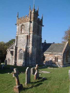
The manor was at one time owned by Eton College. The church of St Mary dedicated in 1295 is an ancient flint and stone structure in the Perpendicular style, it was restored in 1868. There are some early 17th century brasses and the registers date from 1539. The land area is 2872 acres. In 1885 600 acres from the neighbouring Puddletown were incorporated into the parish. The soil is light loam on chalk and the chief crops in the 19thC used to be wheat, oats and barley. A National School was officially opened in 1862 and enlarged in 1890. The population in 1891 was 388 in the civil parish and 339 in the ecclesiastical parish. At this time the majority of the population were engaged in agriculture. |
|
The Online Parish Clerk (OPC) for Piddlehinton is Beryl Ellis On-line data |
|
| Census | The
following has been transcribed so far
1851 Census 1861 Census others are available for look up, please contact me. |
| Parish Registers |
The following
have been transcribed from Bishop's Transcripts:- Baptisms 1731-1811 Burials 1731-1811 & 1813-1880 The following have been transcribed from Parish Registers & BTs:- Baptisms 1813-1880 Marriages 1731-1846 |
| Postal Directories | I have several copies of directories available that have not been transcribed yet, please e-mail me. |
| Other Records | Piddlehinton Lists 1686-1790 Life of Ann Keats/Winzer [1794c - 1873] Elementary School Log Book 1894-1900 [Caryl Parsons] |
| Maps | The 1891 Ordnance Survey maps of the parish can be seen at the old-maps site, just enter 'Piddlehinton' under place search. |
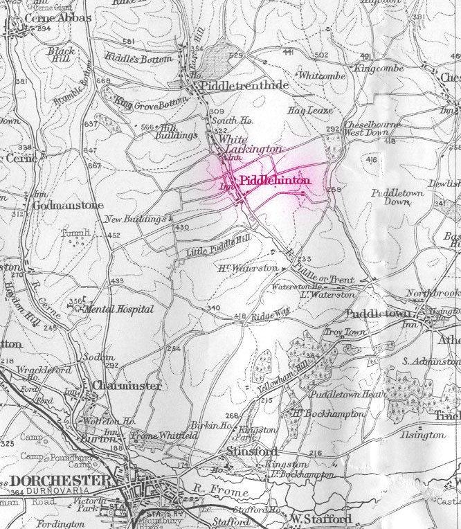 |
For modern
location maps visit:- For a 1920s map of the area click on the map on the left and wait for it to load. |
Visitors to Dorset OPC
Copyright (c) 2025 Dorset OPC Project