 |
Moor Crichel |
|
|
Moor Crichel |
|
|
|
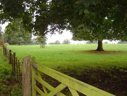
Moor Crichel is a village and civil parish on Cranborne Chase near the River Wim
formerly in the
Hundred of Badbury, Union of Wimborne and Cranborne. About 6 miles South West
of
Cranborne, 6 miles North West of Wimborne and 5 miles East of Blandford Forum. It lies in a wooded vale, some parts of which are marshy due to the river
that flows by. Recorded as Mor Kerchel in 212 and Moore Crechill in 1541. Moor is Old English
for Marshy Ground, Crichel is of Celtic origin {crug}Mound and Old English {hyll}
added at an early date. Now known as Crichel Down, Little Crichel
nearby was joined with Moor Crichel when the parsonage was demolished. |
The Church of St Mary,
South East of Crichel House, replaced
an older building. It was
re-built in Elaborate Italian Style in the 19th C of Stone North of the Parish. It contains a
chancel and small south aisle, an embattled tower and three bells,
a portico and bell turret at the west end, vestry and transept north aisle. There is
elegant tracery on the arches and a rose window of stained glass.
Arches are in polished Purbeck Marble. An altar tomb dated 1581 for the Cifrewast family
is also here.
The church is in the grounds of Crichel House and not accessible to the
public. |
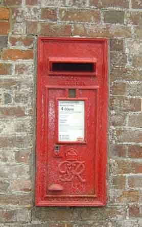
The traditional red post box in Moor Crichel |
|
The new Online Parish Clerk (OPC) for Moor Crichel is
Bel Hounstout |
|
| Census |
1841 [Rosemary Valentine] 1851 1861 [Alan Bartlett] 1871 1881 1891 1901 1911 [Ros Taylor] |
| Parish Registers |
Baptisms 1620-1792 [Kim Parker],
1813-1904 [Ros Taylor] Marriages 1620-1837 [Kim Parker], 1837-1920 [Ros Taylor] Burials 1620-1792 [Kim Parker] |
| Bishops Transcripts |
Baptisms 1792-1811 [Anne Preston] Marriages 1731-1839 [Jon Baker] Burials 1792-1811 [Anne Preston] |
| Rectors | |
| Poll Books | |
| Militia Rolls | |
| Maps | |
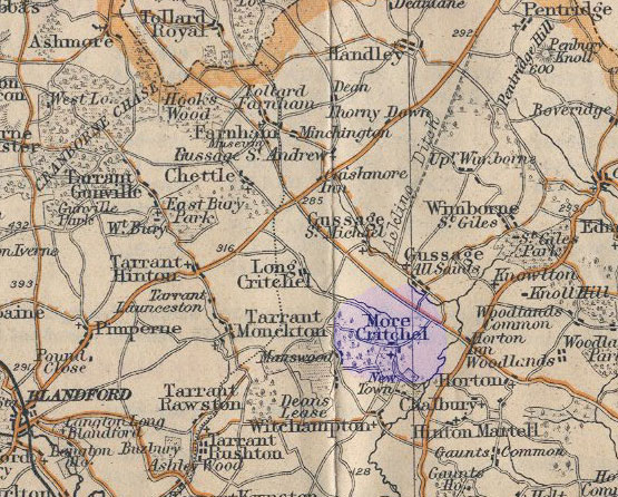 |
For a 1920s map click on the thumbnail opposite |
|
View Larger Map |
|
| Records held at the Dorset History Centre [Ref PE-MOC] |
Registers Christenings 1664-1982. Marriages 1664-1958. Burials 1664-1888. Banns 1824-1947 |
| Registration District (for the purpose of civil registration births, marriages &deaths) |
1 Jul 1837-31 Mar 1937: Wimborne 1 Apr 1937-30 Jun 1956: Blandford 1 Jul 1956-31 Mar 1997: Poole 1 Apr 1997-17 Oct 2005: East Dorset |
Visitors to Dorset OPC
Copyright (c) 2025 Dorset OPC Project